North India Statesman
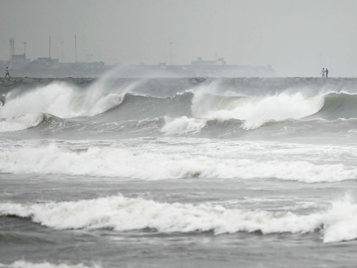
The eastern seaboard of India is bracing for back-to-back tropical weather systems as Cyclone ‘Murasu’ strengthened into a severe cyclonic storm over the west-central and adjoining southwest Bay of Bengal. Following closely behind Cyclone ‘Arnab’ that struck the region days earlier, the India Meteorological Department (IMD) has issued a red cyclone alert for coastal Andhra Pradesh and northern Tamil Nadu, with the storm tracking west-northwestward toward the mainland.
Meteorologists report that the system has gathered substantial momentum over warm sea surface waters, developing sustained gale-force winds of 100 to 110 km/h, with gusts expected to touch 120 km/h during peak impact. State disaster management authorities across Andhra Pradesh, Tamil Nadu, and Odisha have deployed emergency rescue teams, suspended coastal fishing operations, and set up relief shelters in low-lying pockets.
Landfall Projection: South Andhra Coast in the Crosshairs
According to the latest IMD trajectory forecasts, Cyclone Murasu is slated to cross the south Andhra Pradesh coastline between Nellore and Narsapur, making landfall close to Ongole during the night of November 2–3.
Coastal districts including Prakasam, Bapatla, Krishna, Guntur, and SPSR Nellore are projected to experience the brunt of the storm’s core winds. In addition to gale-force winds, a storm surge of 1.0 to 1.5 meters above astronomical tides is forecast to inundate low-lying coastal areas during landfall, prompting rapid evacuations from vulnerable thatched settlements.
Multi-State Impact: Heavy Downpours and Red Alerts
While southern coastal Andhra Pradesh faces the primary threat, neighboring states and regional districts have been placed on high alert due to expansive rainbands trailing the cyclone:
-
Andhra Pradesh: Red message warnings cover coastal zones, predicting heavy to extremely heavy rainfall over isolated areas, posing severe threats to standing crops, banana and papaya plantations, and rural power grids.
-
Tamil Nadu & Puducherry: Heavy to very heavy rainfall has already affected northern coastal belts including Chennai and adjoining coastal corridors, leading to municipal waterlogging warnings.
-
Telangana: Orange and yellow alerts have been activated across southern and eastern districts—including Khammam, Nalgonda, and Suryapet—where squally winds and torrential showers are projected as the storm pushes inland.
-
Odisha: Southern districts including Malkangiri and Rayagada have initiated precautionary educational institution closures and disaster management drills ahead of heavy downpours.
Advisory for Coastal Communities and Marine Operators
The IMD and local administrations have instructed complete suspension of fishing, marine, and small boat operations across the southwest and west-central Bay of Bengal. Fishermen out at sea have been directed to return to nearest harbors immediately.
Residents in the projected path have been advised to remain indoors during peak landfall hours, avoid navigating waterlogged roads, and keep away from fragile overhead structures, large trees, and unstable utility lines until the system weakens into a deep depression as it travels further inland.