North India Statesman
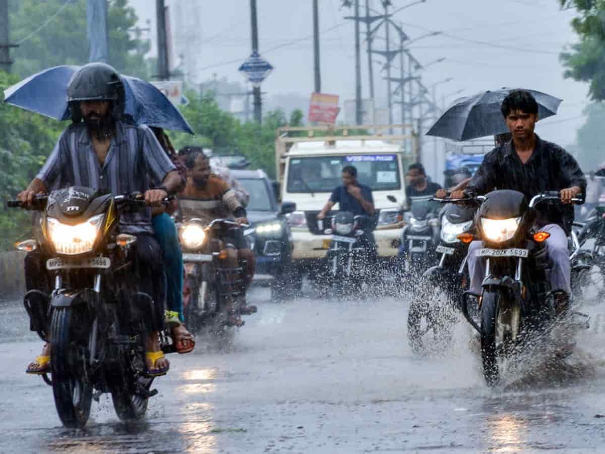
A sudden meteorological shift driven by the influence of cyclonic system Arnab and associated western disturbances is altering weather conditions across Uttar Pradesh, bringing an early onset of winter chill. The India Meteorological Department (IMD) indicates that moisture-laden winds and sudden cyclonic circulations will deliver scattered-to-heavy rainfall, blustery surface winds, and dense cloud cover across central, eastern, and western parts of the state. As rain dampens several districts, daytime maximum temperatures are projected to slide down sharply by 3 to 6 degrees Celsius, accelerating the transition into nighttime cold and morning fog.
How Storm Arnab Is Forcing the Mercury Down
The convergence of easterly moisture from the Bay of Bengal system with cooler upper-tropospheric winds is creating an intense cooling effect across the Indo-Gangetic plains. Cloud decks will block incoming solar radiation, causing daytime temperatures to hover well below seasonal averages. Meanwhile, brisk winds blowing between 25 to 40 km/h will significantly increase the wind chill factor. Once the storm system dissipates and skies clear toward the middle of the week, the residual moisture coupled with northwesterly winds from the Himalayas will send nighttime minimum temperatures tumbling into the mid-to-low teens, marking the official arrival of winter weather across UP.
Day-by-Day UP Weather Outlook for the Next Week
The upcoming seven days will see a progression from wet, overcast storm conditions to crisp, post-rain winter mornings:
-
Days 1–2 (Storm Impact & Maximum Rain): Extensive cloud cover, overcast conditions, and widespread light-to-moderate showers accompanied by thundershowers in several districts. Strong surface gusts will prevail. Daytime temperatures will stay suppressed around 22°C to 25°C, making days noticeably chilly.
-
Days 3–4 (Passing Showers & Gradual Clearing): Intermittent passing showers will linger over eastern and central regions, while western UP begins to see partial clearing. Humidity levels will remain elevated, and nighttime minimum temperatures will drop to around 18°C–20°C.
-
Days 5–7 (Post-Storm Cold & Morning Fog): Rain activity will completely recede, giving way to clear, sunny skies during the day. However, the dry northwesterly winds taking over will plunge night temperatures down toward 15°C–17°C, bringing brisk mornings, light mist, and a sustained winter chill.
High-Alert Districts and Agricultural Advisory
Districts in the central belt, along with parts of eastern and southern Uttar Pradesh—including Lucknow, Kanpur, Prayagraj, Varanasi, Ayodhya, and adjoining Bundelkhand regions—are advised to prepare for brief waterlogging, traffic slow-downs, and gusty winds. Agronomists have urged local farmers to pause the open drying of harvested paddy crops and postpone pesticide spraying until the system clears. Residents are advised to carry rain gear over the coming 48 to 72 hours and prepare light woolens as the post-storm cooldown sets the stage for northern India’s winter season.